Skip Navigation

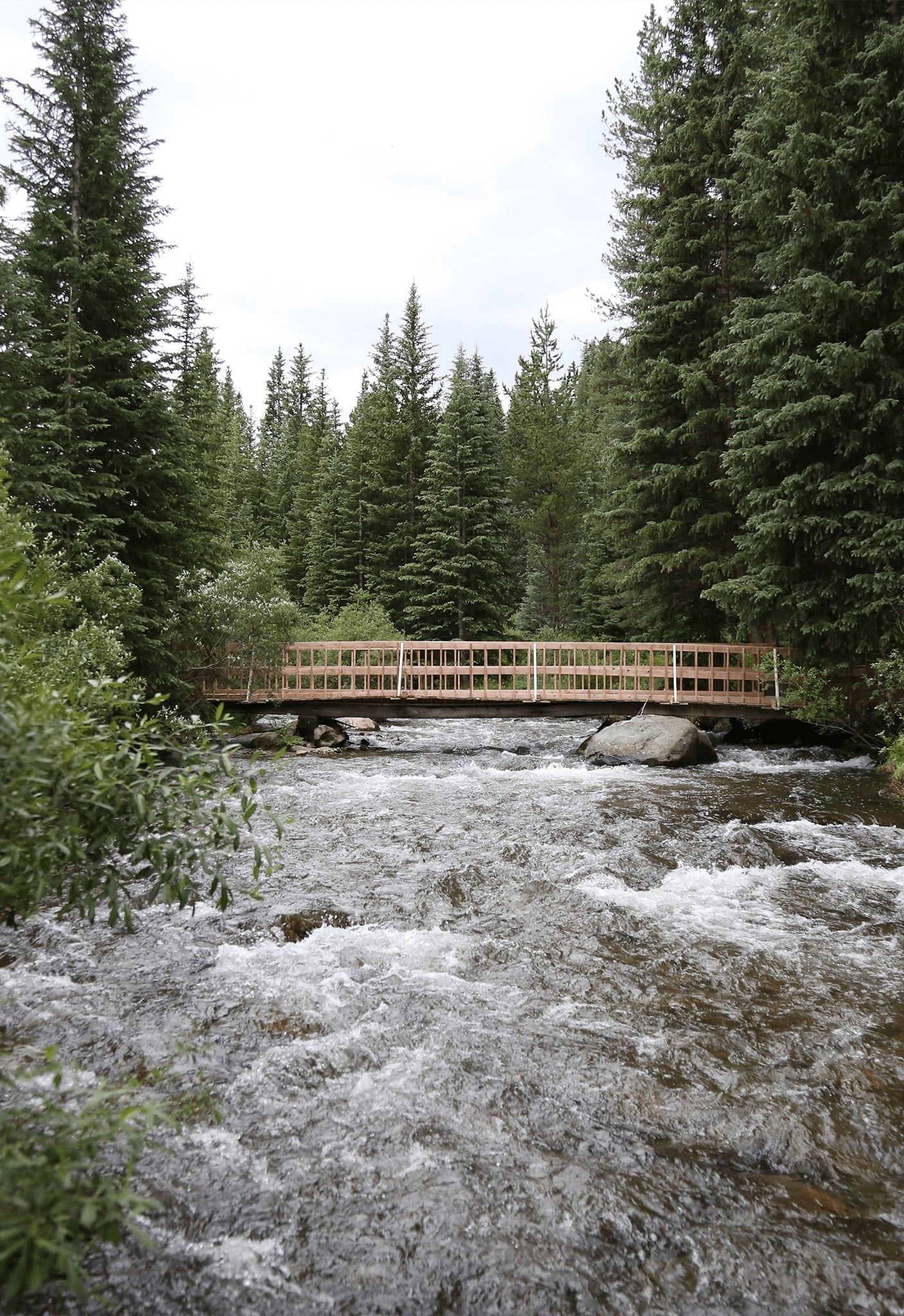
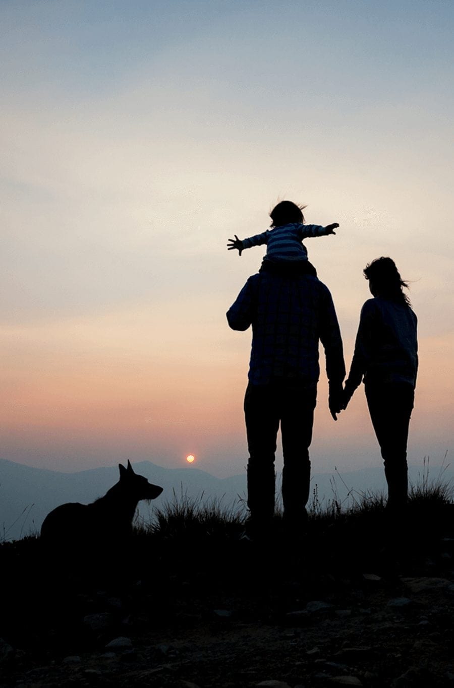
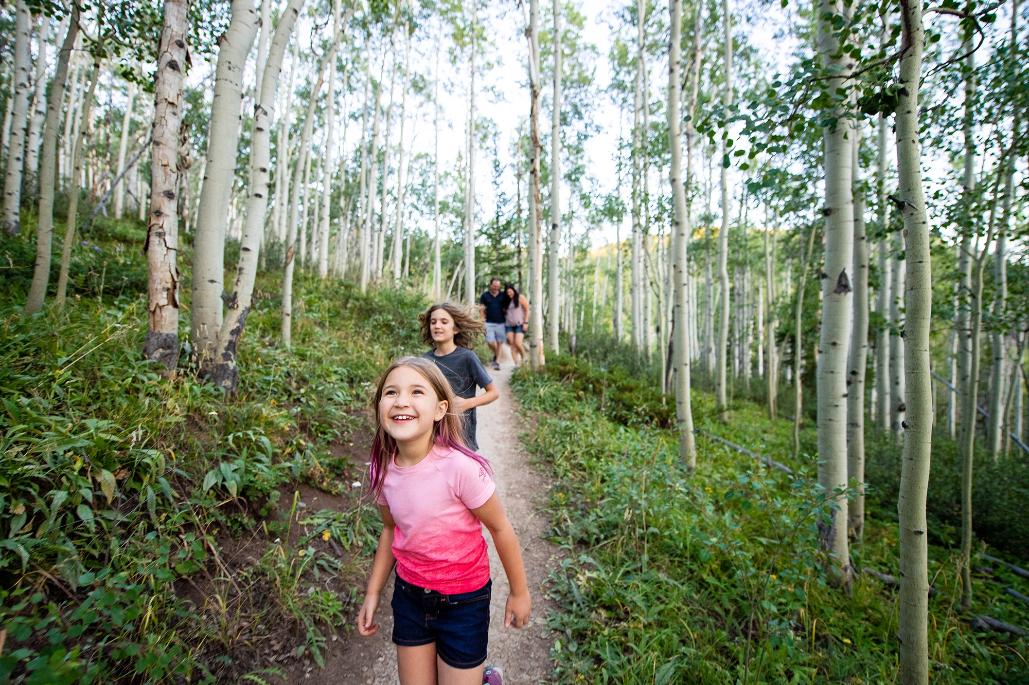
Standing on the Continental Divide brings into focus the entirety of the Continental United States, highlighting the vastness of the Western expanse of the country, and the far distance to coasts.  There are four places near Breckenridge where you can stand on the Continental Divide and soak in the greatness of the United States.

The Continental Divide is the spine of the continent, a high ridge of mountains that divides the waters. Rain that falls on the east of the Great Divide flows eventually to the Mississippi River and the Gulf of Mexico, differentiating from those waters that flow west on their way to the Pacific Ocean.


Easiest:

Hoosier Pass sign
Hoosier Pass (elevation 11,542′) offers a scenic overview and access to hiking trails.

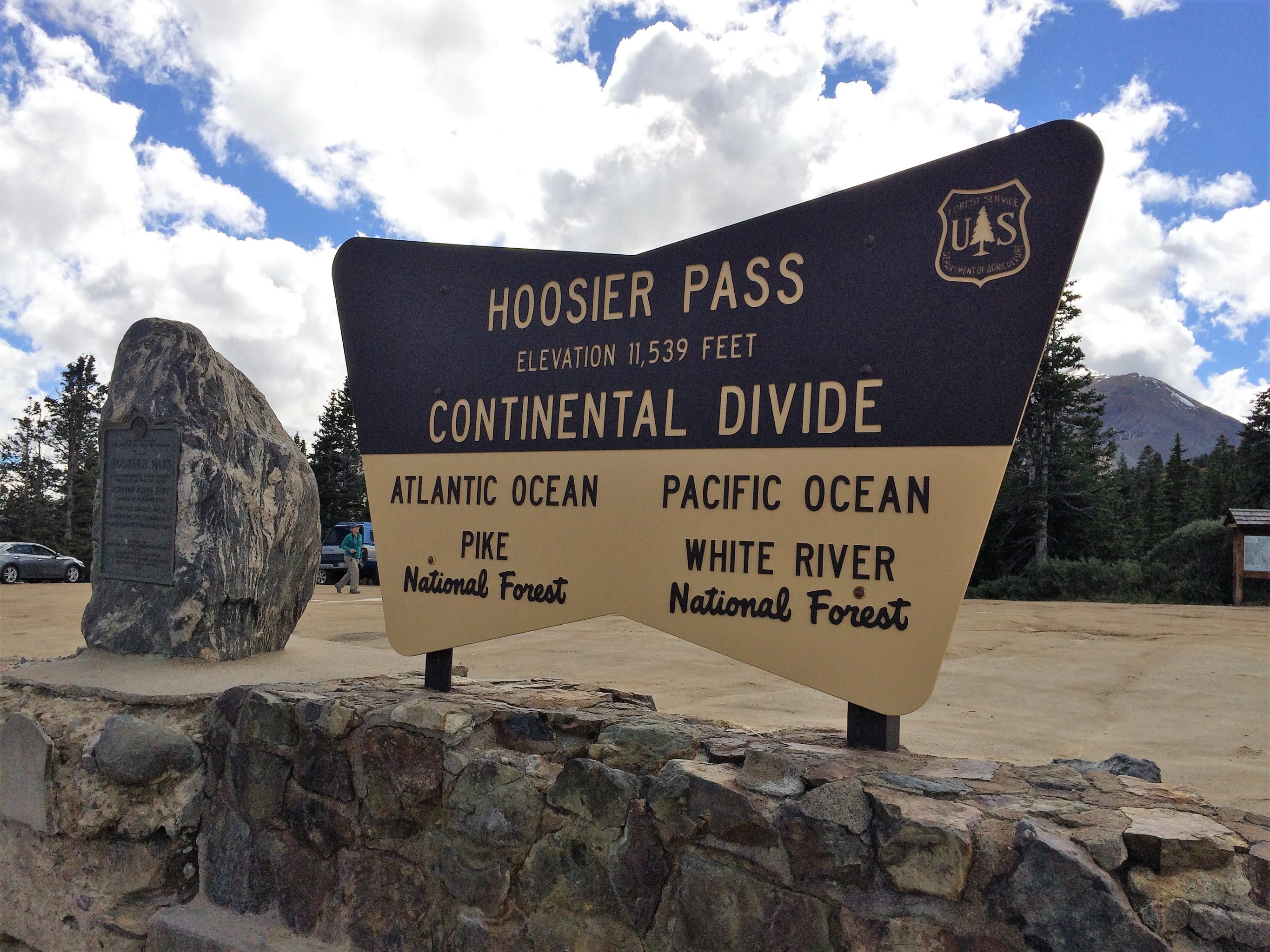
Hoosier Pass, South of Breckenridge, Elevation 11,539’

The first European explorers to document a crossing of the Continental Divide at today’s Hoosier Pass were the members of the Fremont Expedition in June 1844.  Led by military leader and great “Pathfinder” John C. Fremont, the expedition crossed from the north (Breckenridge side) to the south following a buffalo trace, or worn migration path.

Again in 1860, miners crossed the pass from the south in search of gold in the Breckenridge area.  As was the tradition of the time, miners named geographic places based on their home state. Hence Hoosier Pass was named by prospectors from Indiana.

Today, a visit to Hoosier Pass is an easy drive up paved State Highway 9, open year-round.  To get there from Breckenridge, take Main Street or Park Avenue south to join Highway 9 as it heads toward Fairplay.  Drive about 10 miles to the summit. Hoosier Pass offers scenic views and hiking trails to explore during your visit.


Loveland Pass, Northeast of Breckenridge, Elevation 11,991’

In the early days of gold prospecting in Colorado, an enterprising railroad man, William A. H. Loveland, built a rough road from the railyards in Georgetown over the Continental Divide, in hopes of constructing an eventual rail line to the lucrative gold fields further west.

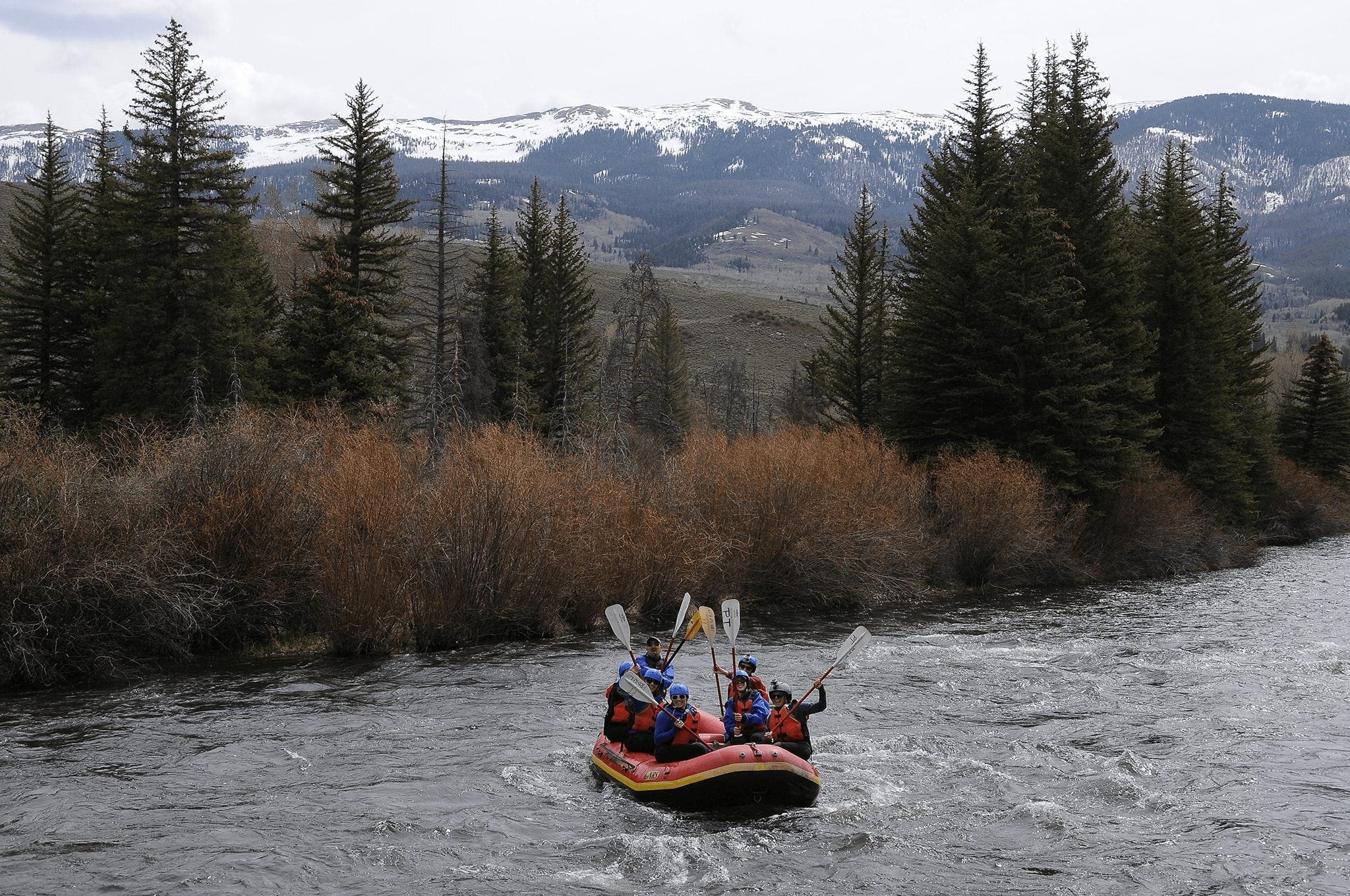
Loveland’s dream of a railway was never realized, though the road he created became US Highway 6 and the highest road in the nation that is kept open year-round. Topping out at almost 12,000 feet in elevation, with narrow winding turns and steep grades, Loveland Pass is one of the most exciting drives in the country.  Today, Loveland Pass is a favorite with adventurous drivers, backcountry skiers and snowboarders, and cyclists up for a lung-busting ride, and the occasional truck that isn’t allowed through Eisenhower Tunnel.  If you are looking for a brag-worthy hike, Loveland Pass offers challenging vertical, rewarding 360° views, and beautiful wildflowers.

To get to Loveland Pass, take Highway 9 north from Breckenridge to Farmer’s Korner. Turn right (east) on Swan Mountain Road for a scenic short-cut to US Highway 6 at Summit Cove. Head right (east) on Highway 6 past Keystone and Arapahoe Basin to the summit, about 24 total miles from Breckenridge.


Intermediate:

Boreas Pass
Boreas Pass (elevation 11,481) is one of the most popular scenic drives in Breckenridge.  The road is closed each winter and becomes a popular recreational trail during the winter months.

Boreas Pass, East of Breckenridge, Elevation 11,482’

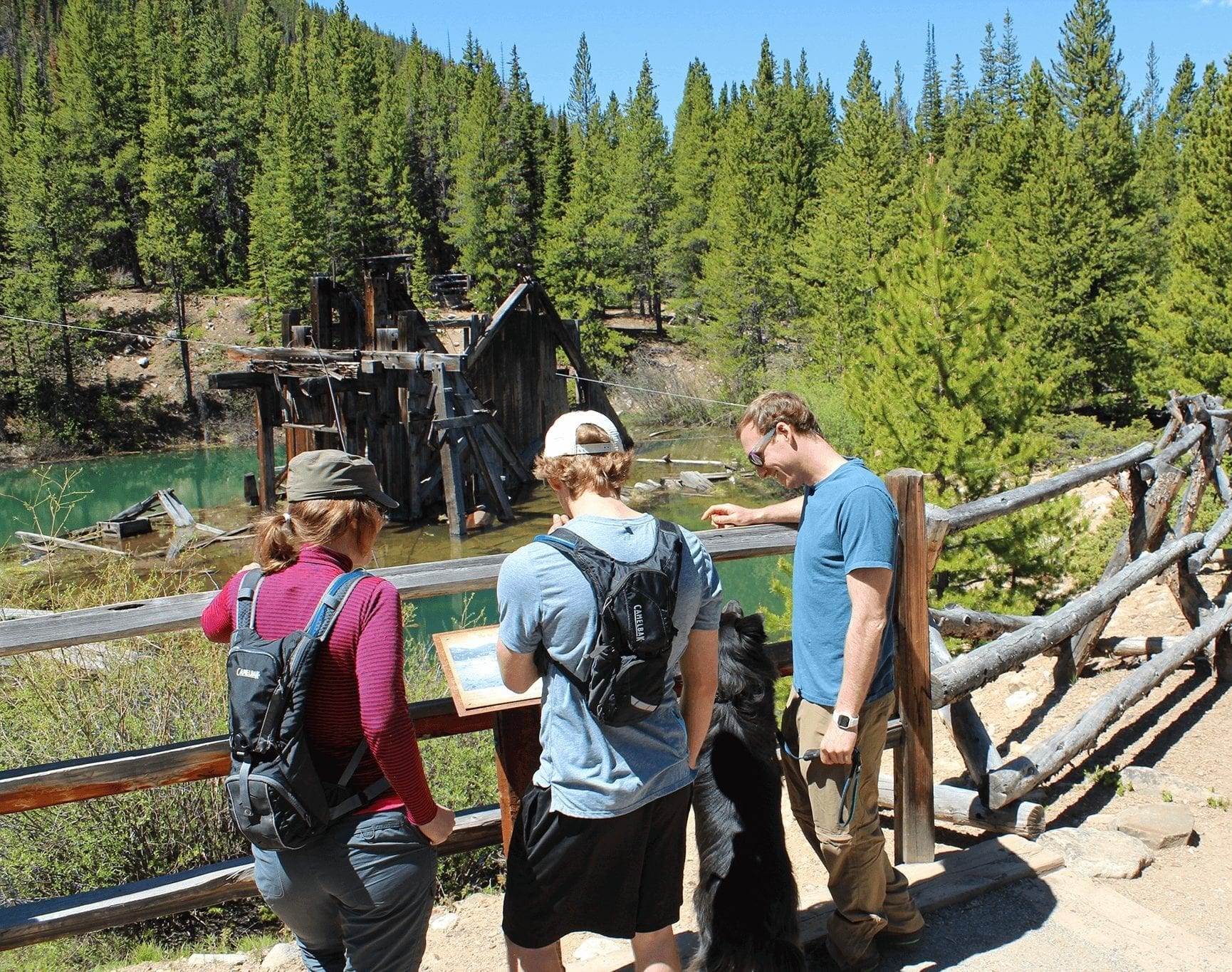
One of the most beloved and scenic drives from Breckenridge is Boreas Pass. It was one of the earliest routes into the Breckenridge area, dating from the prospecting period.  In the 1880’s it became a narrow gauge railroad route, and in the 1940’s the tracks were ripped out for the war effort and it became a road yet again, this time wide enough to accommodate modern vehicles.

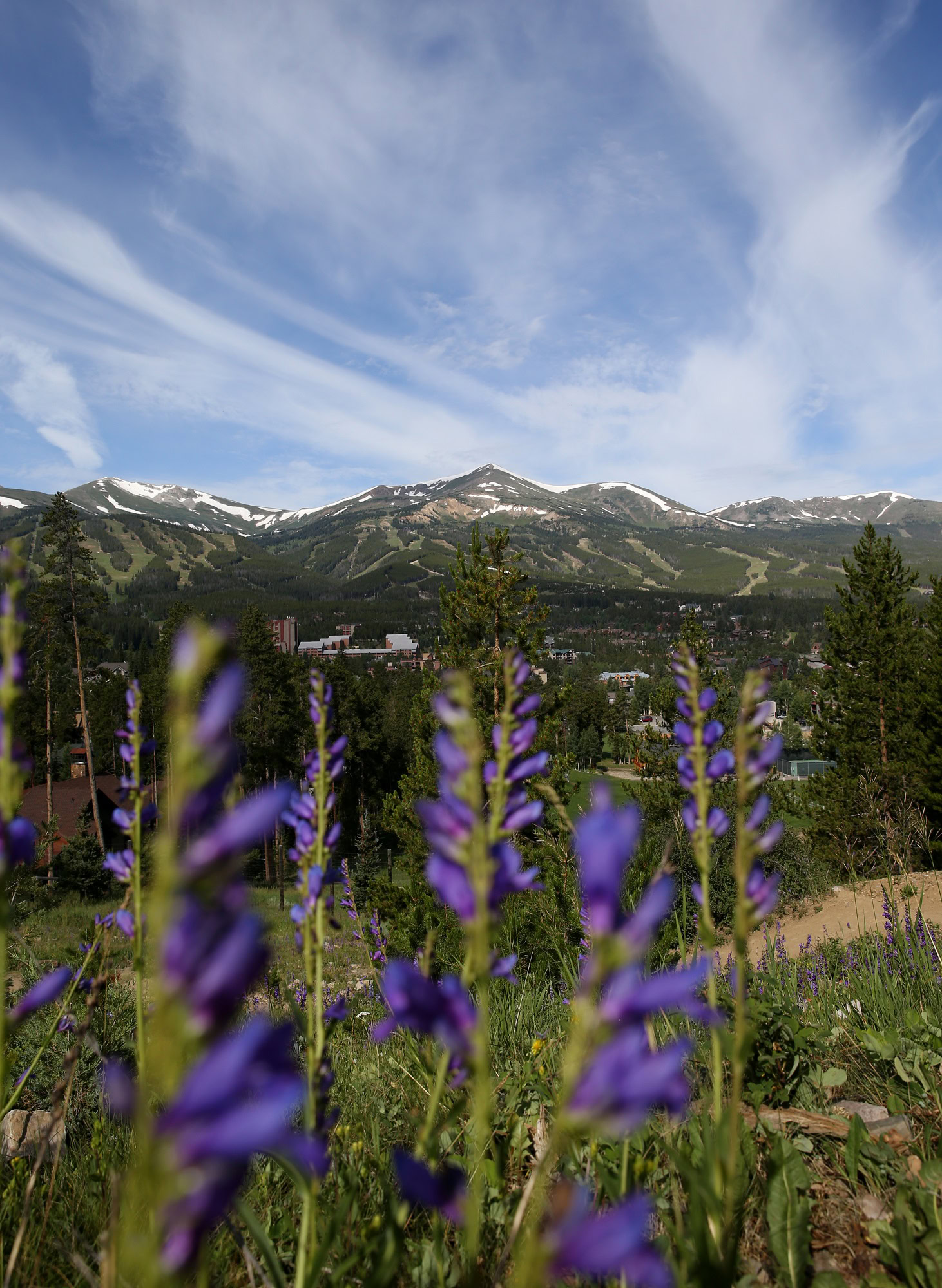
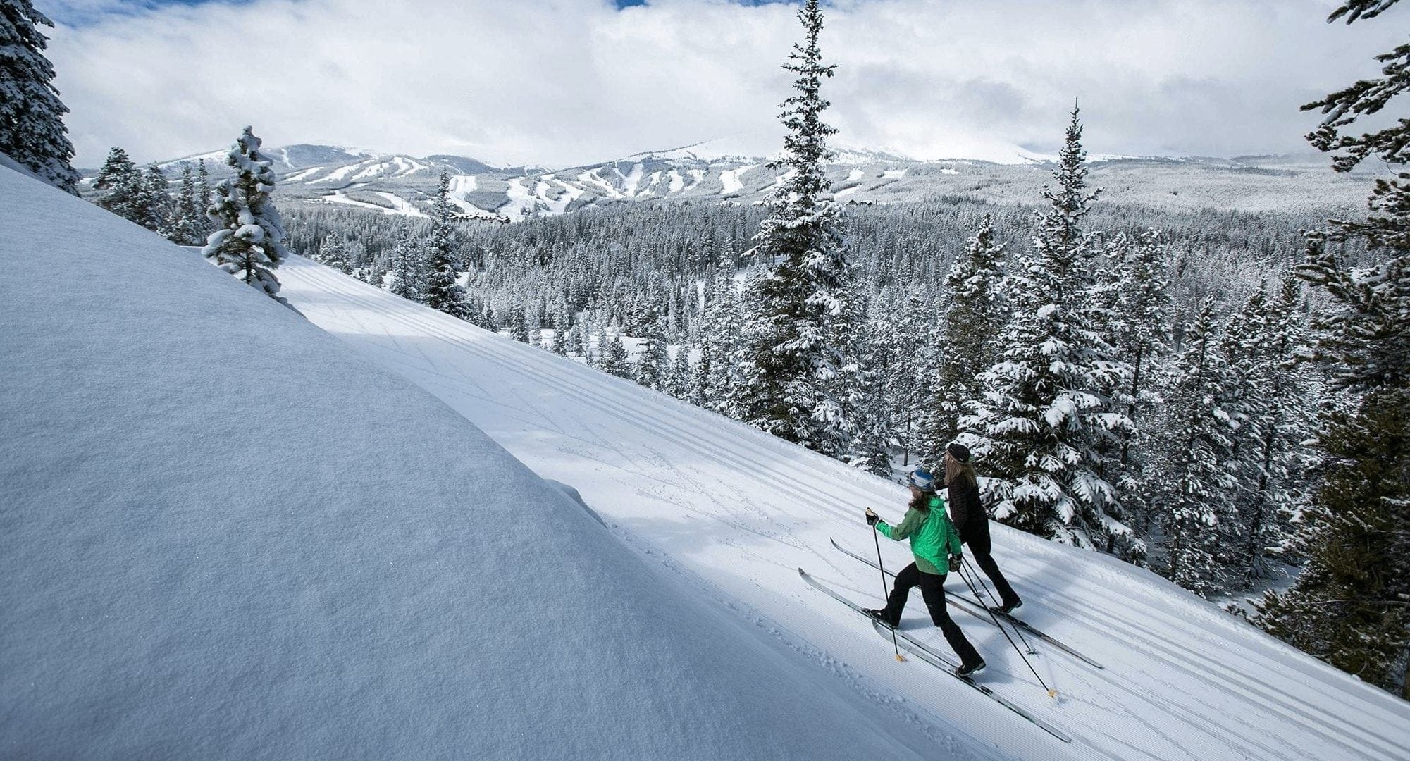
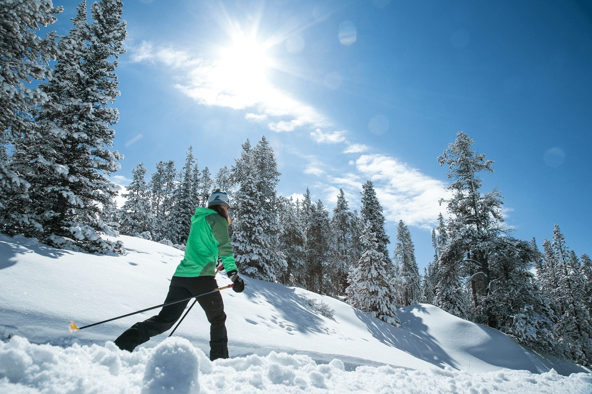
It was quite the engineering marvel to build a railway across the Continental Divide and vestiges of history line the roadway today. The views are also spectacular, starting with town and Breckenridge Ski Area, curving around to the south and east toward towering Quandary Peak (a Fourteener), to the Continental Divide at the summit. Boreas Pass Road is a favorite with auto travelers in the summer, sharing the road with cyclists and walkers. In the winter, Boreas Pass Road is closed to vehicles to the delight of snowshoers and crosscountry skiers. The Section House at the summit serves as a hut in the winter, offering rustic overnight accommodations to non-motorized travelers.

To get there, take Main Street or Park Avenue south to the intersection with Boreas Pass Road. Turn left (east) and travel up the road, about 4 miles on pavement, then another 6 miles on dirt to the summit.  Park at the Bankers Tank trailhead or take the scenic drive toward Como.


Most Difficult:

Georgia Pass Trail
Georgia Pass Trail (elevation 11,598) is a popular section of the famed Colorado Trail.

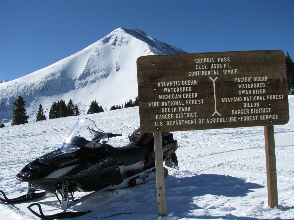
Georgia Pass, Northeast of Breckenridge, Elevation 11,585’

Little is known about the history of Georgia Pass, though suffice to say that it was named by miners from Georgia.  Separating the gold rich fields of the South Fork of the Swan River from the eastern slope, visiting Georgia Pass today is an adventure in the wilds of the Breckenridge area.  Accessible in the summer only by four-wheel drive vehicles, mountain bikes, or on foot, or snowmobile or skis in the winter, Georgia Pass is the most challenging of Continental Divide toppings in the Breckenridge area.

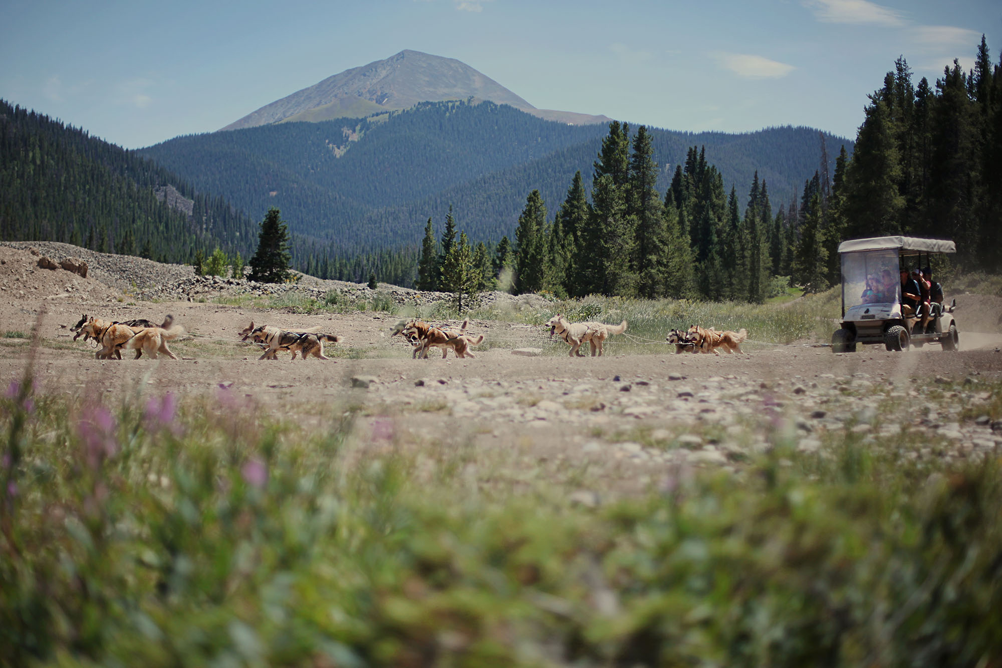
In the winter, Good Times Adventure Tours,  will take you to the summit of Georgia Pass on their classic 2-hour snowmobile tour.

To get there, take Highway 9 north 2.5 miles and turn right (east) onto Tiger Road. Follow Tiger Road 6.5 miles to Good Times where the road ends in the winter. Or continue on up the South Fork Road to the summit of Georgia Pass.

Explore More:

lady enjoying a rock climbing activity
Other Outdoor

6 Activities for Adventure Lovers

person fly fishing near Breckenridge Colorado
Other Outdoor

First-Timer’s Guide to Fly-Fishing

two horse open sleigh
Other Outdoor

16 Snowy Things to Do if You Don’t Ski in Breckenridge

Two people snowshoeing and looking at the Breckenridge mountain views
Hiking

Guided Hikes in Breckenridge

peaks trail hiker
Hiking

Fall Hiking Trails That Are Off The Beaten Path

Peak 8 hiking trail
Hiking

How To Find the Perfect Hiking Trail in Breckenridge

Dog on Bankers Tank Trail
Hiking

Early Summer Hiking Trails in Breckenridge

Couple fly fishing
Other Outdoor

Guided Activities and Tours in Breckenridge

Group of hikers on the Reiling Dredge Trail in Breckenridge
Hiking

Historic Hiking Trails in Breckenridge

Two women talking in wildflowers - photo by Louie Traub
Hiking

Beginners Guide to Hiking in Breckenridge

Breckenridge mountain hiking view
Hiking

Difficult Hiking Trails in Breckenridge

Summer in Breckenridge: girls hiking a field with a mountain view
Hiking

Easy Hiking Trails in Breckenridge

Breckenridge hiking trail leading up the mountain.
Hiking

Best Moderate Hiking Trails

Francie's Cabin Backcountry Hut in Breckenridge.
Other Outdoor

Hut Trip Adventures Near Breckenridge

Golfing in Breckenridge
Other Outdoor

Golf in Breckenridge

A wooden bridge spanning a river in Breckenridge
Other Outdoor

Photographic Spots in Breckenridge Off the Beaten Path

Fall in Breckenridge: Fly Fishing women
Other Outdoor

Reel in 4 Seasons of Fly Fishing in Breckenridge

Mountain Goat on the Quandary Peak hiking trail in Breckenridge.
Hiking

How To Climb Your First 14er

River rafting in Breckenridge with a scenic view
Other Outdoor

9 Tips for a Great Colorado Whitewater Rafting Trip

Boots of a hiker stock image
Hiking

3 Easy Breckenridge Hikes from Downtown

Family hiking at Breckenridge during the fall
Family Friendly

Best Fall Hikes in Breckenridge

valley between mountains with pine trees
Go Breck!

Quandary Peak + McCullough Gulch Hiking Guide

A group trip rafts in Breckenridge on a beautiful summer day
Meetings + Conferences

Summer Group Activities in Breckenridge

A family country skiing in Breckenridge, Colorado
Winter

Nordic & Cross Country Skiing in Breckenridge

three people biking on a mountain trail
Summer

7 Activities to Get You Outside this Summer

Boreas Pass
Local’s Guide

4 Places to Stand on the Continental Divide near Breckenridge

flower view of the mountains
Fall

Four Hiking and Biking Trail Loops in Downtown Breckenridge

Mohawk Lake Family Scenic Hike
Local’s Guide

6 Hiking Myths Debunked

McCullough view toward Red Mountain
Travel FAQs

Winter Trail Use Guidelines

Silhouettes of a family and dog during a sunset hike in Breckenridge
Family Friendly

Tips for Hiking with Kids in Breckenridge

Summer Hike with Boreas Pass Views
Local’s Guide

Hiking in Breckenridge Without A Car

Breckenridge Colorado White Water Rafting Group
Summer

Water Activities in Breckenridge

A guided dog sledding adventure through the snow at Breckenridge
Winter/Spring

Dog Sledding in Breckenridge

Overview of Breckenridge Jack Nicklaus Golf Club with mountains in background.
Summer

Breckenridge’s Jack Nicklaus Signature Golf Course

White water rafting with mountain view in Breckenridge
Summer

Whitewater Rafting in Breckenridge

summer dog sleddingin Breckenridge
Summer

Summer Dog Sledding in Breckenridge

Yoga SUP at Breckenridge
Summer

Stand Up Paddle Boarding (SUP) in Breckenridge

Father pulls daughter uphill in tube sled in Breckenridge
Family Friendly

Sledding in Breckenridge

Snowshoeing in Breckenridge
Winter/Spring

Snowshoeing in Breckenridge

A child snowshoeing in Breckenridge, Colorado
Winter/Spring

14 Easy Snowshoe Trails in Breckenridge

Cross country skiers on a trail during the winter in Breckenridge, Colorado
Photo Galleries & Video

Photos: Top Winter Activities in Breckenridge

Fog and wildflowers at Crystal Lakes in Breckenridge
Summer

Five Wildflower Hikes Near Breckenridge

Group rafting trips down the Arkansas River.
Trip Ideas

The Best Kept Secrets of Breckenridge Rafting

Cross country skiing in Breckenridge snow.
Winter/Spring

The Best Winter Workouts in Breckenridge

Columbine wildflowers in Breckenridge during summer.
Summer

Where to Find Wildflowers in Breckenridge

Continental Falls flowing out of the Mohawk Lakes in August.
Summer

3 Waterfall Hikes Near Breckenridge

Kids running down a Breckenridge hiking trail
Summer

Best Summer Hikes in Breckenridge

Snow-covered winter hiking trail in Breckenridge.
Winter/Spring

Best Winter Hikes in Breckenridge

woman holding a trout
Trip Ideas

Fly Fishing in Breckenridge

Breck Editorial
The Breckenridge Tourism Office works to enhance and promote the unique character and experience of Breckenridge as a world-renowned destination resort and to represent, serve and perpetuate the common interest and character of its membership and community.
Rustic Cabin Interior

Book Your Stay

Breckenridge is for embracing life’s best moments. Plan a visit to experience Breckenridge for yourself.

TRAVELING TO BRECKENRIDGE, CO

gobreck-map

Embrace the Spirit

BLike Breckenridge™ is a movement born of the spirit of our historic mountain town. It is a cause that connects us to each other, that we can all be a part of.