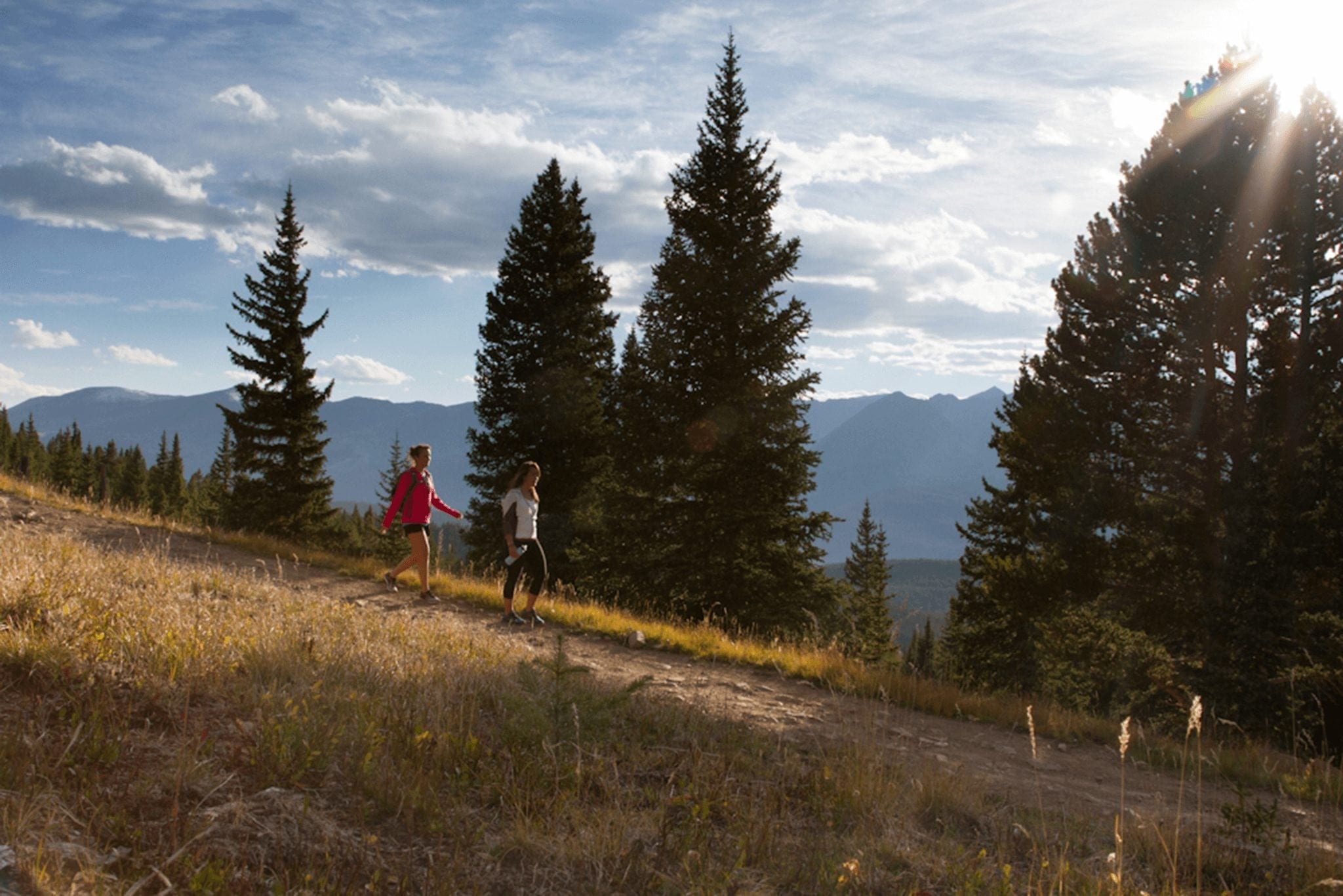
You don’t need a car to hike some spectacular trails in Breckenridge. Free public transportation can whisk you to many popular trailheads to make hiking in Breckenridge without a car simple and easy. Hop on the Breck Free Ride. The Breck Free Ride is a community-wide free transit system complete with an easy app and routes designed to get you to where you want to be. All bus routes start at the Breckenridge Transit Center, located near the Gondola. Check with your lodging company for shuttle options to the transit center or hiking trails. Learn more about going car-free in Breckenridge. ![]()
Hiking in Breckenridge Without A Car
Hikes off the Trolley Route
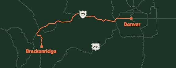
No Car, No Problem: Hiking without a car in Breckenridge
Summit County maintains an extensive paved Recreational Pathway System, commonly known as the Rec Path. This scenic 55 miles stretch of paved path is open to all user groups and connects many of the resorts, transit stops, trailsheads, town and local attractions. Difficulty: Easy
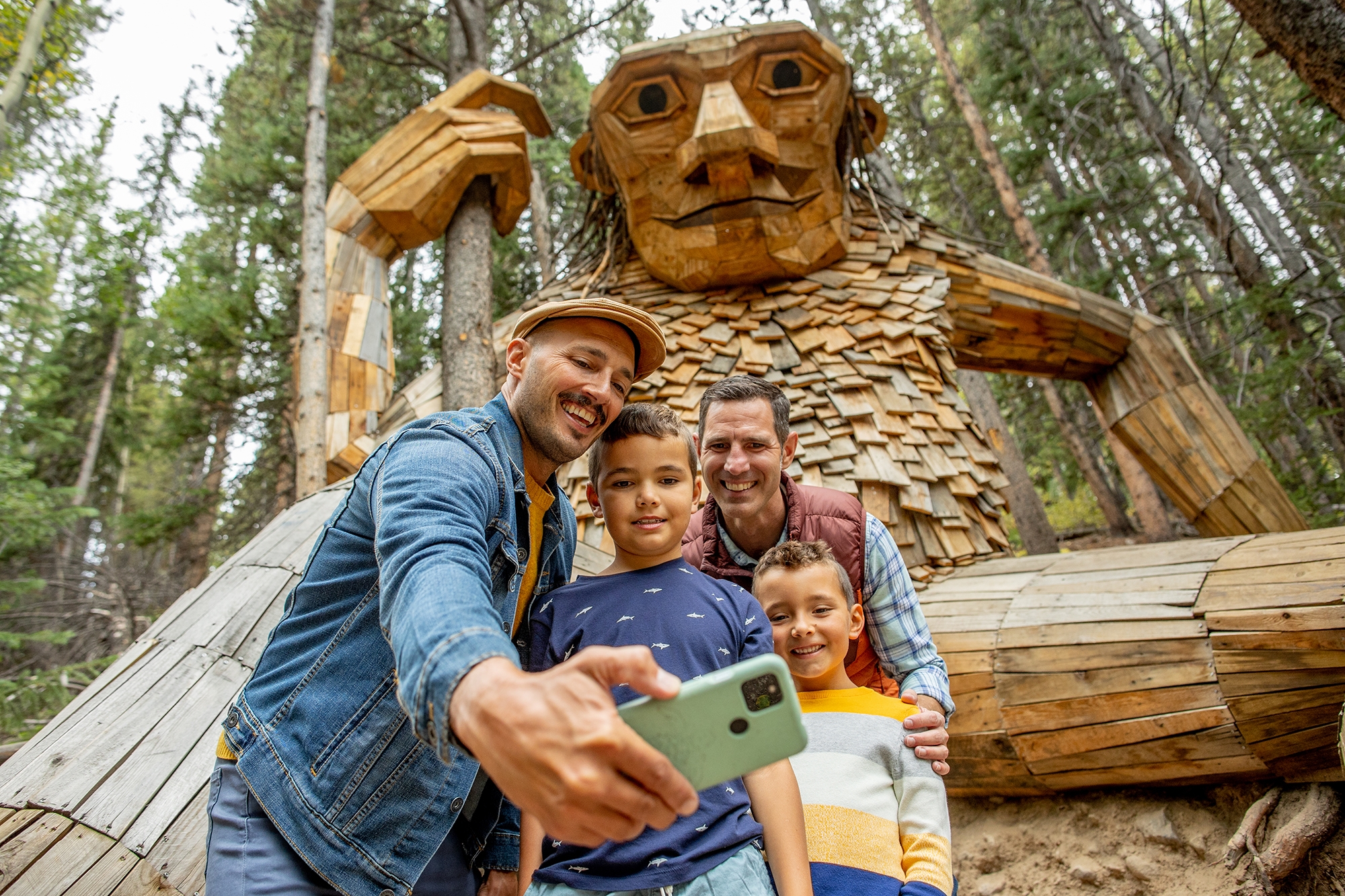
Hike this easy .25 mile trail to discover Isak Heartstone, a 15-foot tall wooden troll sculpture, located on the Trollstigen Trail in Breckenridge, Colorado. After viewing the troll add to your adventure by exploring Illinois Creek Trail. This popular hiking and biking loop offers wooded views. Remember to stay on the path and respect posted guidance to avoid private land. Difficulty: Easy
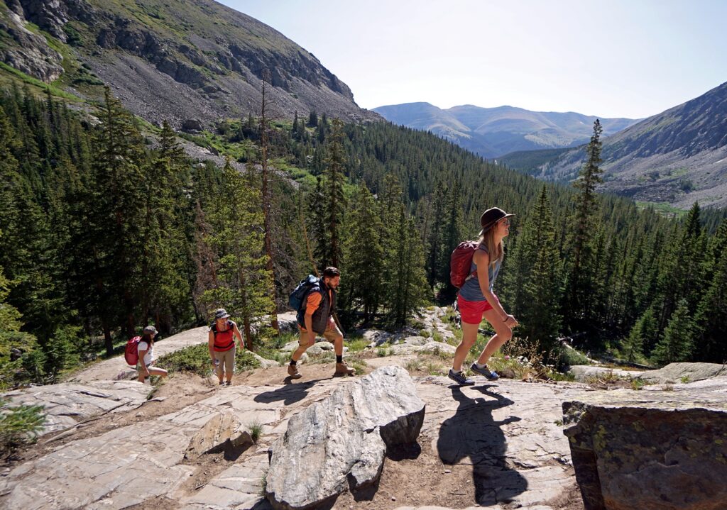
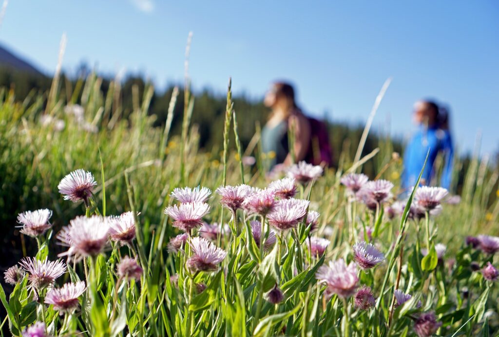
This trail starts from the Town Overlook off of Ski Hill Road, giving a new perspective on Breckenridge. As the trail courses around Shock Hill to the north, new views are seen around each corner. You’ll encounter rock outcroppings, wildflowers and vegetation. Difficulty: Moderate
Explore the 3.0-mile out-and-back trail close to Breckenridge, Colorado. It’s typically viewed as a moderately challenging path, requiring approximately 1 hour and 43 minutes on average to finish. While this trail is well-liked for hiking, you can also experience moments of solitude, especially during less busy hours. Difficulty: Moderate
This roughly 1.5-mile hike begins at the bottom of the Snowflake Lift and follows a stream to a reservoir. Abundant shade and minor elevation gain make this a good option for families. The location near the ski resort puts this hike within easy walking distance of many surrounding lodging properties. Difficulty: Moderate
This short-and-sweet hike follows stone steps uphill from Carter Park, which is home to a dog park, pavilion, tennis courts and more. Panoramic views of the Tenmile Range and Breckenridge Ski Resort await at the top of the steps. The distance to the top is easier measured in yards rather than miles, so this is a great short-on-time option. Difficulty: Moderate
The Blue River Trail rolls gently along a ridge bordering Illinois Creek, crossing a variety of ecosystems, from thick spruce forest to aspen groves and open meadows. Mining relics, wildflowers, and views of Boreas Pass and the Ten Mile Range draw you along the trail. Difficulty: Moderate
Pets On Bus
Service animals and well-behaved pet dogs are welcome aboard the Breckenridge Free Ride. Dogs must be licensed, leashed, and sitting next to, or under their handler’s feet.
Hikes Off The Green Route
No Car, No Problem: Hiking without a car in Breckenridge
Uncover the rich history of Breckenridge as you traverse the Iowa Hill Trail, a charming path that winds through remnants of the town’s mining past, featuring informative plaques and stunning vistas of the Tenmile Range. Difficulty: Easy to Moderate
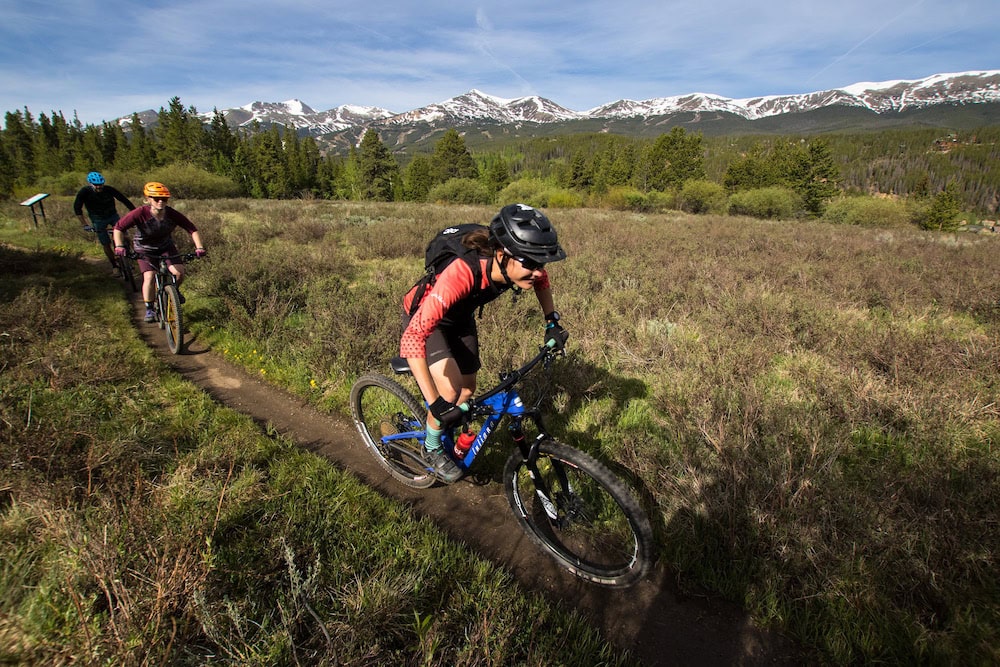
Take advantage of this series of trails that form an easy loop. Mountain bikers and hikers alike will revel in the exhilarating terrain, traversing wooded landscapes and open meadows with glimpses of the Blue River flowing beside you. Difficulty: Easy
Summit County maintains an extensive paved Recreational Pathway System, commonly known as the Recpath. This scenic 55 miles stretch of paved path is open to all user groups and connects many of the resorts, transit stops, trailsheads, town and local attractions. Difficulty: Easy
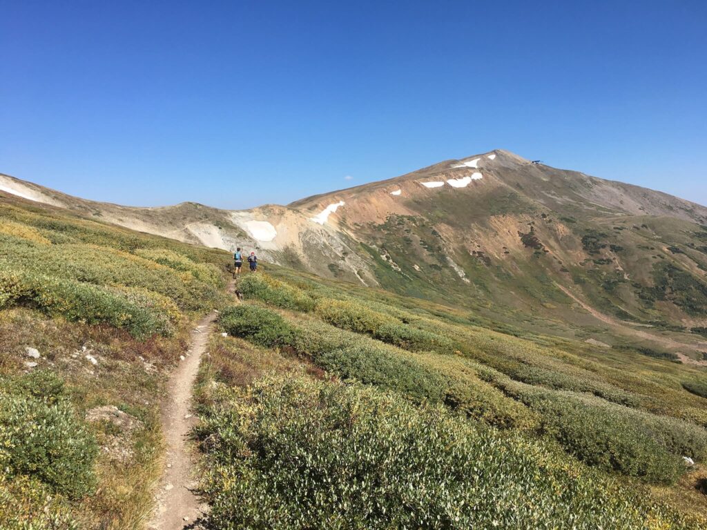
Explore this rewarding trail that ascends through alpine forests to Gold Hill Ridge, treating you to panoramic views of the Continental Divide and Breckenridge’s stunning backcountry. Difficulty: Moderate
Hikes Off The Brown Route
No Car, No Problem: Hiking without a car in Breckenridge
Hike this easy .25 mile trail to discover Isak Heartstone, a 15-foot tall wooden troll sculpture, located on the Trollstigen Trail in Breckenridge, Colorado. After viewing the troll add to your adventure by exploring Illinois Creek Trail. This popular hiking and biking loop offers wooded views. Remember to stay on the path and respect posted guidance to avoid private land. Difficulty: Easy
The trail begins at the base of Peak 9 and the start of the trail offers views of the Breckenridge Ski Resort and town. Once you head into the forest, you will quickly be surrounded by nature. The trail takes you along a creek and a forest of pine trees. Contine further along the trail for meadows and wildflowers. You’ll enjoy a secluded feel from a trail this conveniently located trail. Difficulty: Moderate
Experience the enchanting beauty of the Snowflake Trail during the summer season. This 2.5-mile path is ideal for hiking or a leisurely stroll, enveloped in tranquil, lush landscapes. Immerse yourself in the serene surroundings, providing a peaceful getaway in the heart of Breckenridge.
Difficulty: Easy to Moderate
This roughly 1.5-mile hike begins at the bottom of the Snowflake Lift and follows a stream to a reservoir. Abundant shade and minor elevation gain make this a good option for families. The location near the ski resort puts this hike within easy walking distance of many surrounding lodging properties. Difficulty: Moderate
Explore the 3.0-mile out-and-back trail close to Breckenridge, Colorado. It’s typically viewed as a moderately challenging path, requiring approximately 1 hour and 43 minutes on average to finish. While this trail is well-liked for hiking, you can also experience moments of solitude, especially during less busy hours. Difficulty: Moderate
ummit County maintains an extensive paved Recreational Pathway System, commonly known as the Recpath. This scenic 55 miles stretch of paved path is open to all user groups and connects many of the resorts, transit stops, trailheads, town and local attractions. Difficulty: Easy
This roughly 1.5-mile hike begins at the bottom of the Snowflake Lift and follows a stream to a reservoir. Abundant shade and minor elevation gain make this a good option for families. The location near the ski resort puts this hike within easy walking distance of many surrounding lodging properties. Difficulty: Easy to Moderate
Uncover the rich history of Breckenridge as you traverse the Iowa Hill Trail, a charming path that winds through remnants of the town’s mining past, featuring informative plaques and stunning vistas of the Tenmile Range. Difficulty: Easy to Moderate
The River Trail offers mountain views of the 10-mile range as well as a close-up of Breckenridge’s might Blue River. Amble downstream along the Blue River soaking in the sounds of rushing water and birds calling, and watch for wildflowers and fishermen. This is a great trail for those new to hiking or those nervous about getting lost in the woods. This trail offers line of sight and no forks which makes it easy to navigate. Difficulty: Easy.
Hikes off the Purple Route
No Car, No Problem: Hiking without a car in Breckenridge

Relics of Depression-era gold-seeking, cobbled together from old truck beds and scavenged mining parts, can be seen from the trail. Heading east, enjoy stunning views of the Breckenridge Ski Area. For a longer option, use the French Gulch bus stop as a jumping-off point for the trail network system in French Gulch, starting at the B&B Trailhead, about .25 mile past the Country Boy Mine. Difficulty Easy to Moderate
Begin your adventure at the B&B Trailhead, offering a 4.2-mile scenic journey through diverse landscapes, including pine forests and meadows, with moderate elevation gains, providing a satisfying challenge for intermediate hikers and bikers. This easy looped trail offers plenty of connector trails nearby that can make this a longer hike.
Difficulty: Easy
Difficulty: Easy
Connect from the B&B trail to find relics of an old mining dredge can be seen from this trail as well as tailing piles from dredge boat gold mining.
Difficulty: Easy to Moderate
Explore Trail
This looping trail takes you past historic mines and is a great pick for fall leaf peeping. Nearby connector trails can turn this one into a full day hike.
Explore Trail
he River Trail offers mountain views of the 10-mile range as well as a close-up of Breckenridge’s might Blue River. Amble downstream along the Blue River soaking in the sounds of rushing water and birds calling, and watch for wildflowers and fishermen. This is a great trail for those new to hiking or those nervous about getting lost in the woods. This trail offers line of sight and no forks which makes it easy to navigate. Difficulty: Easy.
Summit County maintains an extensive paved Recreational Pathway System, commonly known as the Recpath. This scenic 55 miles stretch of paved path is open to all user groups and connects many of the resorts, transit stops, trailsheads, town and local attractions. Difficulty: Easy
Uncover the rich history of Breckenridge as you traverse the Iowa Hill Trail, a charming path that winds through remnants of the town’s mining past, featuring informative plaques and stunning vistas of the Tenmile Range. Difficulty: Easy to Moderate
Take advantage of this series of trails that form an easy loop. Mountain bikers and hikers alike will revel in the exhilarating terrain, traversing wooded landscapes and open meadows with glimpses of the Blue River flowing beside you. Difficulty: Easy
Hikes off the Summit Stage Boreas Pass Loop
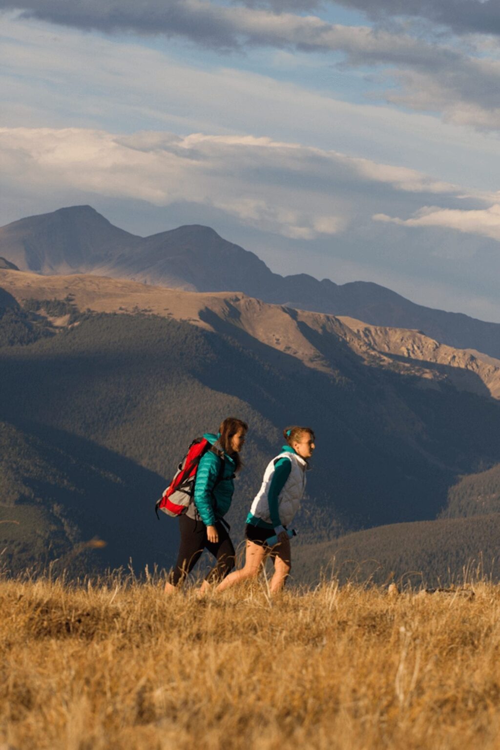
Challenge yourself with the Baldy Trailhead, a gateway to the majestic Bald Mountain, offering a strenuous 7.5-mile round-trip hike with steep ascents, rewarding intrepid hikers with panoramic views of the surrounding peaks. Difficulty: Difficult
Explore the historic Sallie Barber Mine area with the Sallie Barber Trailhead, a moderate 3.2-mile trail winding through remnants of Breckenridge’s mining past, featuring informational signs and captivating views of the Tenmile Range. Difficulty: Moderate
What To Know Before You Go
Free Public Transportation In Brekcenridge

The Breck Free Ride bus system offers a year-round service through town’s most popular areas as well as a Main Street Trolley. The bus system is free to all users and is a convenient way to get around town. Breck Free Ride stops near many popular trailheads, and has 2 bike racks per bus, making it easy to hit the trails without a car.
Depending on the route, most buses run on a 30 min or 15 min schedule. Download “My Free Ride” on your iPhone or Android to get real-time locations of all our buses.
What to know before you go
Before you head outdoors, follow these simple layering and packing tips.
Layers – With changing weather patterns and higher elevations. Pack a few layers to stay warm and dry.
Sun Protection – With 300 days of annual sunshine, you’ll always want plenty of sunshine.
Water & Snacks – It’s easier to become dehydrated at 9600+ feet and you know, you’re climbing mountains. Bring plenty of water and snacks to fuel you up and avoid the hangrys.
Leave No Trace Principles
Anytime you are out enjoying nature, it’s important to abide by Leave No Trace principles. Remember pack it in, pack it out always— this includes all trash, waste, gear etc. If you see trash along the trail, pick it up! It is best to leave the trail and the wilderness even more beautiful than when you arrived whenever possible. Stay on the trail and avoid the side trails or any shortcuts to preserve the natural environment as much as possible while avoiding erosion. You can help us preserve and protect what we love by following Leave No Trace practices during your visit. Learn more by taking the Tree-Hugger Challenge. ![]()
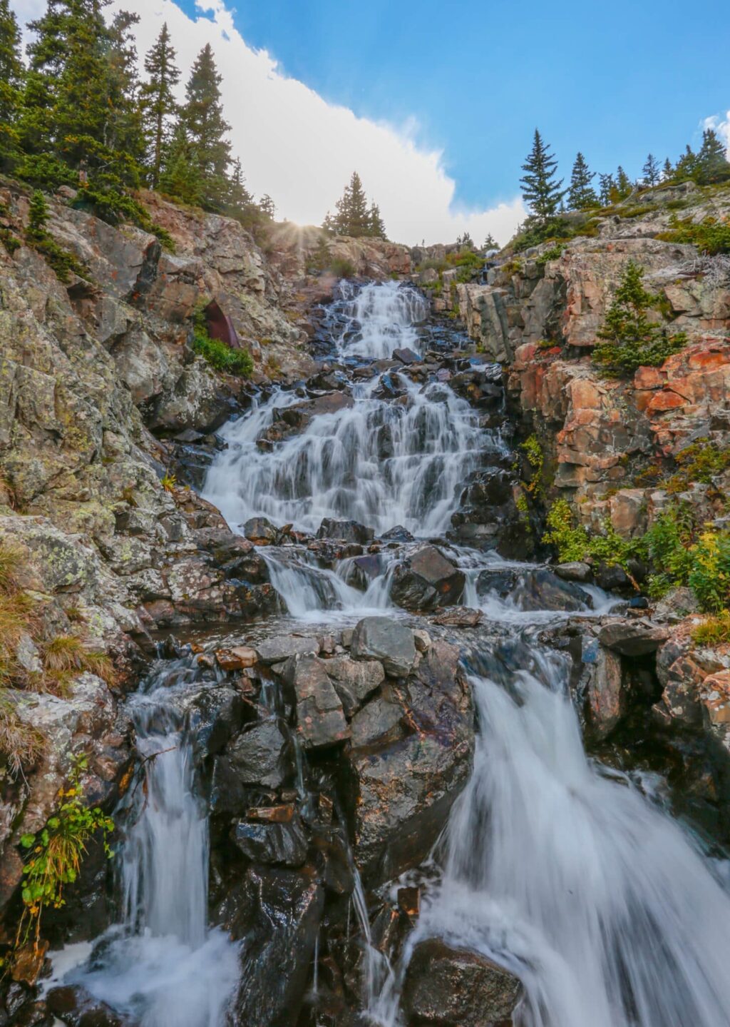
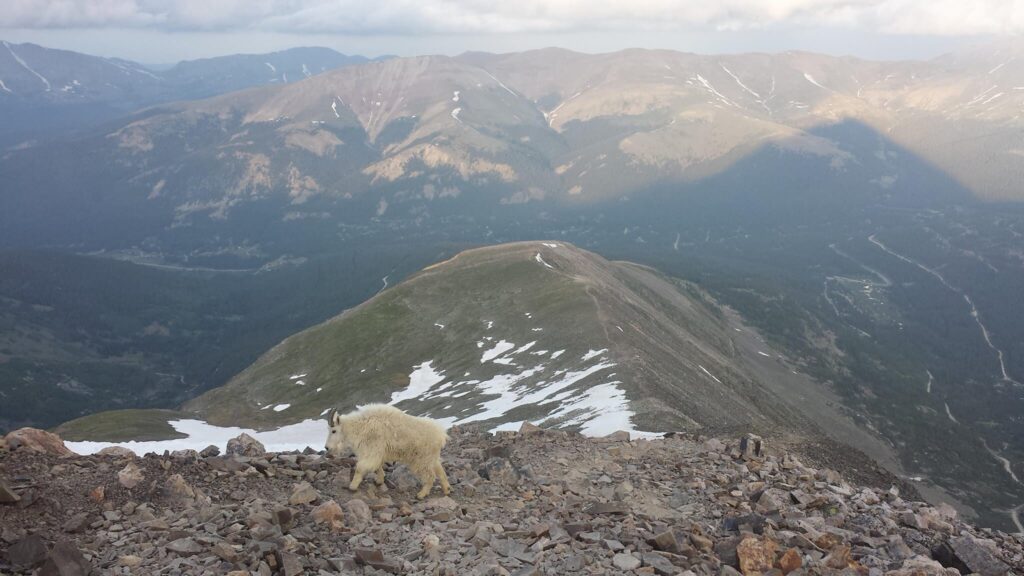
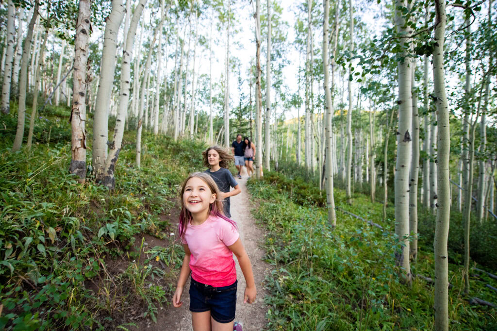
Hiking in Breckenridge


Book Your Stay