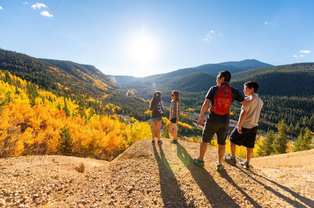
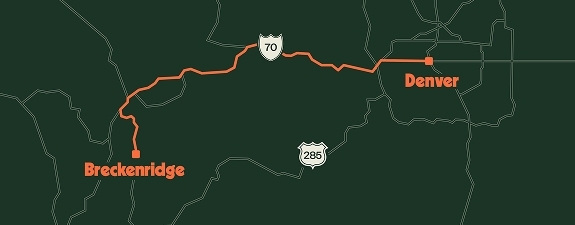
Great hiking conditions abound Breckenridge, whether you’re here for summer or fall. In the mountains, the air is crisper, the shade cooler, the sun warming and the trails are mostly dry. Trails popular with wildflower and waterfall explorers in the summer and leaf-peepers in the autumn can be busy; here are some of our favorite off the beaten path hikes in Breckenridge where you can take a break from the crowds.
Wire Patch to French Gulch
Length: 1.25 miles one way, loop back on French Gulch Road.
Difficulty: Easy to moderate.
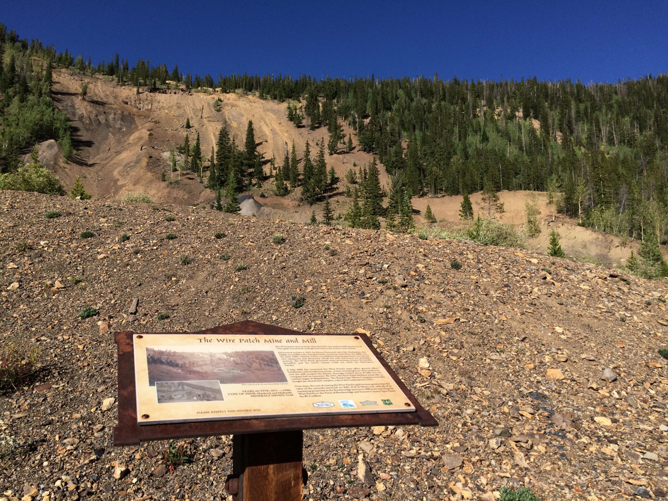
Winding its way through an open forest of spruce and pine on old mining paths, the Wire Patch Trail parallels French Gulch Road on the sunny side of the valley. Along the way to the famous Wire Patch Mine, the interpretive side trail is a worthy diversion. The interpretive trail leads to the camp settlement that served the mine. Remains include a dilapidated boarding house, old cabins, and remnants of the milling structure.
On the main trail, sulfur-colored soil marks the expanse of the Wire Patch Mine, where fabulous specimens of wire gold were found. The trail traverses the heavily washed area and continues into the forest on the east side.
Extend Your Hike:
The Wire Patch Trail ends at the junction with French Gulch Road after about 1.25 miles. From here, you have the option to keep going up French Gulch Road and fork right to French Pass or fork left to Little French; or head back to the trailhead making a loop on French Gulch Road. On your return, lovely views to the west frame Peaks 8 and 7 over the wetlands complex of the Cobb & Ebert Placer, a biologically diverse area that escaped the ravages of dredge boat mining.
Don’t miss the grave of William Milner on your way back. It’s located at the intersection of Humbug Hill Road and French Gulch Road. The old cemetery for the defunct town of Lincoln surrounds Mr. Milner’s grave. His is the only one graced with a headstone.
Directions:
To get to the Wire Patch Trail, take Wellington Road east to French Gulch Road east about 4 miles to the large parking area. Hike up French Gulch Road a short way to Humbug Hill Road on your left. The Wire Patch Trail departs from Humbug Hill Road 100 yards up from the intersection.
Gold Hill Trail
Length: 3.5 miles one way to Peaks Trail. Out and back.
Difficulty: Moderate.
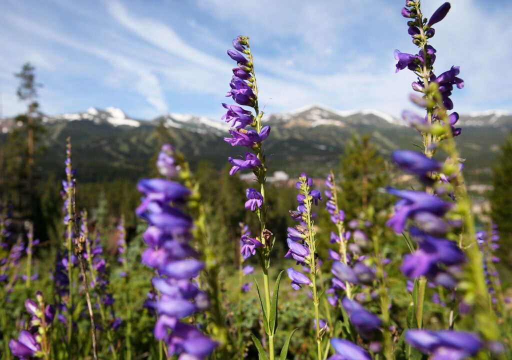
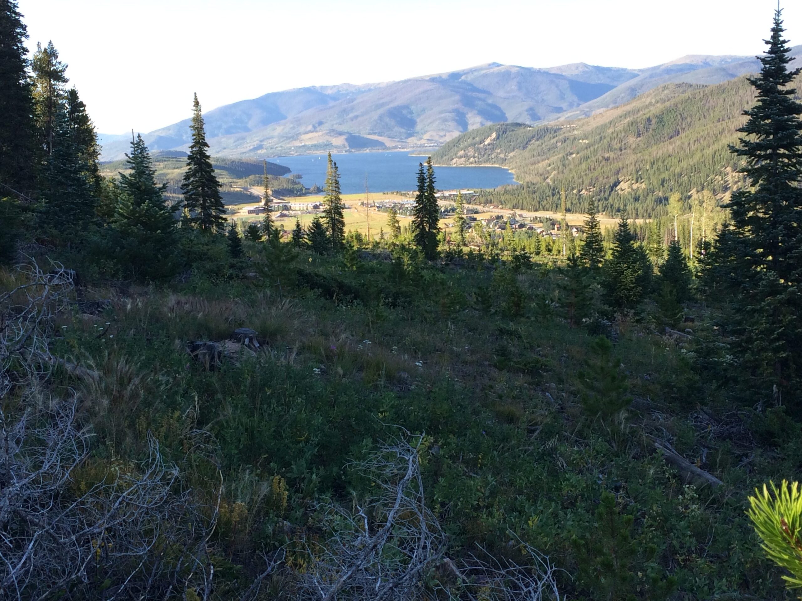
Grand views on the Gold Hill Trail make this a spectacular route for fall hiking. Take in the panorama starting with the Breckenridge Ski Area and Hoosier Pass to the south, the Continental Divide to the east, and Dillon Reservoir and beyond to the north. The trail climbs through open meadows where wildflowers can be found all summer long. Once in the forest, the trail makes its way to the summit of Gold Hill, before descending to the Peaks Trail.
Extend Your Hike:
From here, many hiking options continue on either the Peaks Trail or the Miners Creek Trail up and over the Ten Mile Range. Return the way you came.
The Gold Hill Trail is also a segment of the famed Colorado Trail, which crosses the mountains from Denver to Durango. Through hikers with heavy packs may share the trail with you.
Directions:
To get to the Gold Hill Trailhead, drive north on Highway 9. Just after the Blue River crossing, turn left onto Gateway Drive. The trailhead is adjacent to the highway. This is a great trail to take if you’ve gone carless in Breckenridge.
- Local’s Tip: No Car, No Problem! You can take the free Summit Stage from the Breckenridge Station to the Tiger Run RV Park stop. You’ll be dropped off directly across from the parking lot to the trailhead. Discover more hiking trails you can bus to or learn more about going car-free in Breckenridge.
Peaks Trail
Length: 9 miles one way.
Difficulty: Easy to moderate, depending on length.
The Peaks Trail is a classic Breckenridge hike, long loved by locals and visitors alike. It is also one of the oldest purpose-built trails in the area, dating back to the early days of the US Forest Service’s recreation programs.
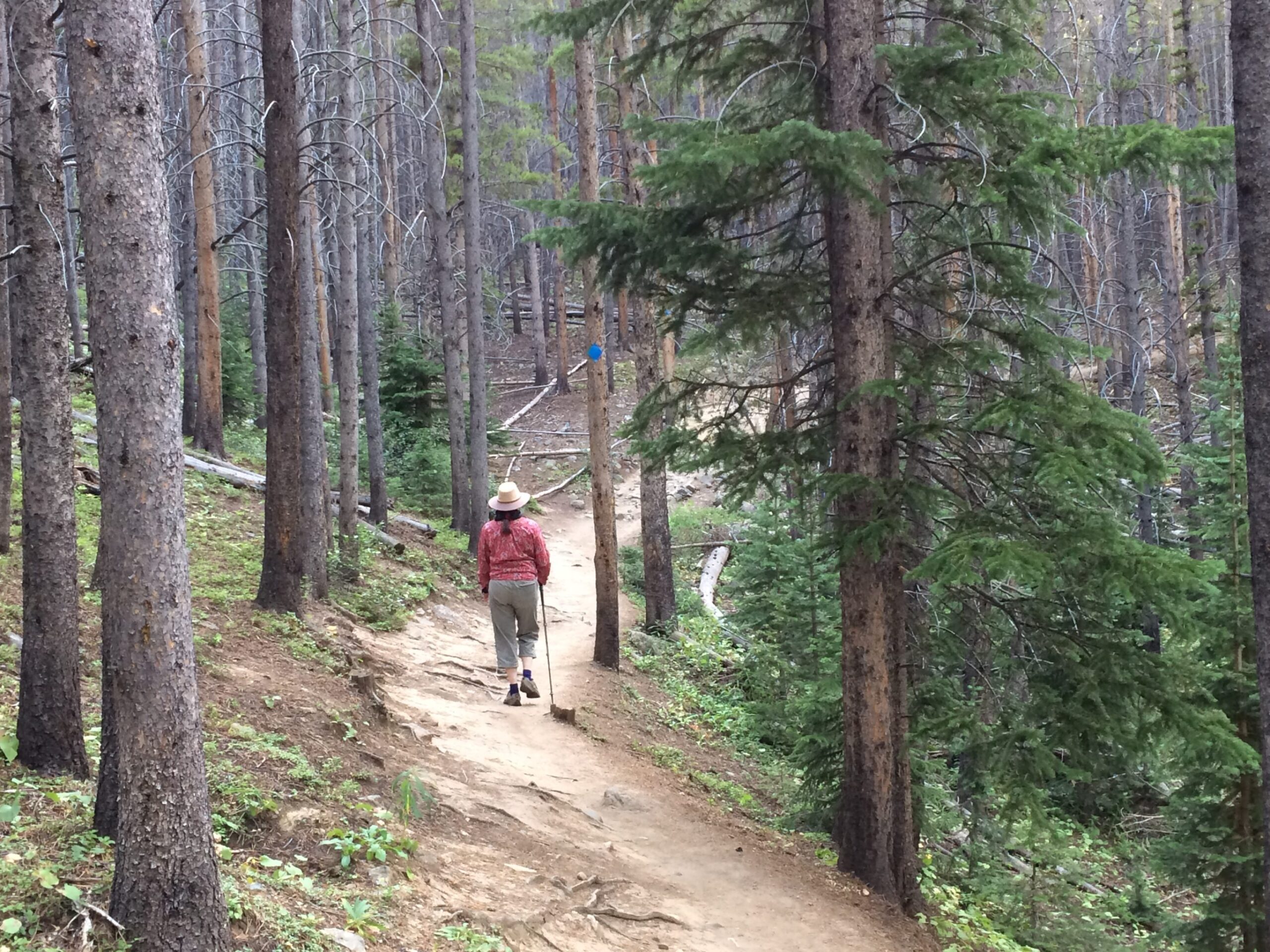
The Peaks Trail offers intimate landscapes of moss-filled rock gardens, ancient evergreen trees, and many watercourses bubbling under the well-constructed trail. It climbs gently to reveal views of Bald Mountain to the east, before beginning its descent to Frisco. The intersection with the Gold Hill Trail comes about 6.25 miles in.
Bus Back to Breckenridge:
Turn around at any time to return to Breckenridge, loop via Gold Hill Trail to the bus, or complete the full trail to Frisco and take the free Summit Stage back to Breckenridge. Even your furry friend can accompany you; well-behaved, leashed dogs are allowed on the Summit Stage bus, as well as the Breckenridge Free Ride buses.
Directions:
To get to the Peaks Trail Trailhead, take Ski Hill Road west past the Peaks 8 and 7 Base areas. Where the road turns to dirt, park on the left for the Peaks Trail.
Burro Trail

Length: 2.3 miles one way. Out and Back.
Difficulty: Easy to moderate.
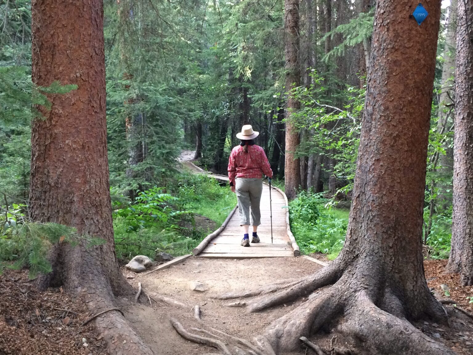
The Burro Trail is so close to downtown Breckenridge but so far removed. As soon as you cross the bridge over Lehman Creek, everything changes. The woods are deep and dark with the shade of large spruce trees. The busy creek burbles alongside the trail offering a soft musical accompaniment to your ramble. Beaver ponds and meadows create openings in the forest canopy. Kids love this hike as there are many interesting things to command their attention, from weirdly shaped stumps to water crossings, rickety bridges, mushrooms and wildflowers. After two-plus miles, the Burro Trail ends at the Spruce Creek Road. Turn around at any time to return to the start.
Directions:
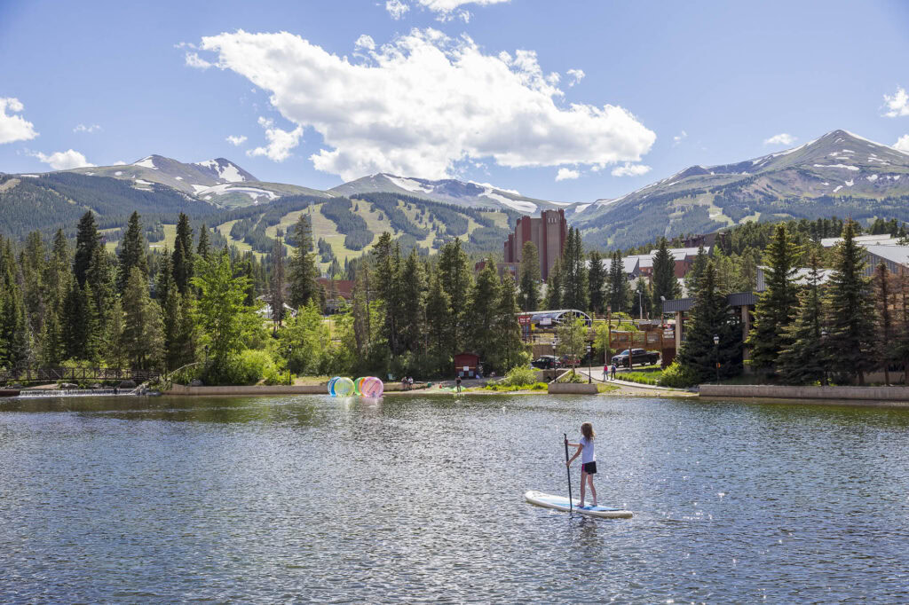
The Burro Trail is convenient because it is easily accessed from downtown Breckenridge. To get there on foot, start at the Maggie Pond on the south end of town, and head uphill under the Quicksilver Ski Lift. Just across from Beaver Run Resort, look for the sign to the Burro Trail on the left. Or, drive to Beaver Run on Village Road and park in the large parking area on the left. Walk uphill under the ski lift a short distance to find the trailhead sign.
- Local’s Tip: If golden aspen leaves pique your hiking interest, discover when the leaves are changing and great hiking trails and tips with the Breckenridge Leaf Brief!
