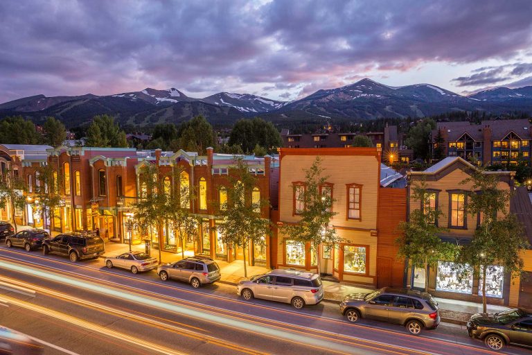
Welcome to Breckenridge. With beautiful views, a world-class ski resort, and tons of bars, restaurants, and local shops, you’ll have plenty to do! Breckenridge welcomes visitors with 300+ days of sunshine each year and incredible opportunities to play in the mountains. To help you navigate town like a pro, use these maps of Breckenridge to explore our hundreds of miles of trails to hike, bike and ride with our winter and summer trail maps, as well as our town map featuring streets and activities.
Getting Around Breckenridge
Breckenridge is easily accessible without a car.
Staying in Breckenridge is easy, as the majority of Breckenridge lodging properties are within walking distance of Main Street, spanning eight blocks. Most lodging properties also have free shuttle service to and from downtown Breckenridge. And with the BreckConnect Gondola, you can go from skiing and riding to après-ski bliss in a matter of minutes. The Town of Breckenridge is easy to explore on foot and bike so once you are here it’s easy to go carless. Breckenridge also boasts a free bus service which serves most of town. For those looking to venture outside of town, the free Summit Stage transit system serves nearly all of the county, including service to Copper Mountain, Keystone and Arapahoe Basin during peak times of the year. Other transportation options include taxi services, Uber and Lyft.
Learn more about transportation in Breckenridge.
Trail Maps of Breckenridge
Take in the views and enjoy the scenery on one of Breckenridge’s hiking trails.
The Breckenridge and Summit County Trail Map is the most up-to-date and thorough guide to the local roads and trails in and around Breckenridge and southern Summit County. A hardcopy of the map is available at the Breckenridge Welcome Center (203 S. Main St.) or at local retailers. Proceeds from the sale of the printed trail map go directly to trail building and open space maintenance efforts.
Breckenridge trails offer four seasons of fun. In the summer and fall, try hiking and biking, and in the winter and spring, check out fat-biking, snowshoeing and Nordic skiing!
- Colorado Trail Explorer – COTrex
- AllTrails.com
- Breckenridge Trail Map
- Breckenridge Ski Resort Trail Map
Coming to town soon? Stop by and pick up a trail map from the Breckenridge Welcome Center.
Leave No Trace
Be sure to review and follow Leave No Trace principles before heading out and be prepared for your adventure by following our Winter Trail Use Guidelines.
Check the weather forecast and learn about common weather conditions in Breckenridge. Don’t be afraid of a little snow! Our Guide to Layering will help you stay warm and dry during your adventures.
If you’re looking for more recreation paths and other hiking/biking/snowshoeing/skinning trails around Breckenridge, check out Summit County’s extensive map of parks and trails. Also, don’t forget to read up on our guide to winter hiking in Breckenridge!
Trail Conditions
Breckenridge’s trail system is extensive even throughout the winter months.
The Town of Breckenridge’s trail system is an important community asset. Please use these trails so that they are sustainable and enjoyable for other users, now and in the future. Before you head out, look up trail conditions to determine what trails are ready to hike or ride. If snow is too soft or melting snow has created muddy trails, we ask that you please try another trail. This can cause holes and tracks in the trail which can harden and ruin the trail for other users.
Breckenridge Ski Resort Trail Map
Breckenridge Ski Resort is one of the top ski destinations in Colorado.
With 5 peaks and 2,908 skiable acres to explore, you’ll want to plan out your day depending on skill level, time and dining!
Need More Inspiration?


Embrace The Spirit
BLike Breckenridge™️ is a movement born of the spirit of our historic mountain town for those who call it home—whether for a weekend or a lifetime—to live by. It is a cause that connects us to each other, that we can all be a part of.
